Buying a rural lot or small acreage near Muskogee and not sure where the true lines are? You are not alone. Fences, old deeds, and neighbor stories can be confusing when you are trying to protect your purchase and plan a build. In this guide, you will learn what a survey shows, which type you may need, local Muskogee County factors to watch, and how to hire the right professional. Let’s dive in.
What a land survey shows
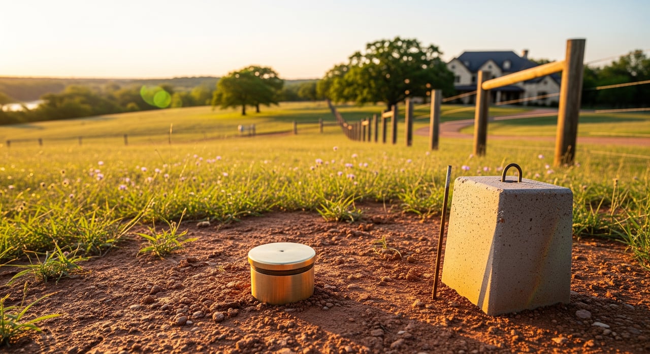
A land survey locates and maps your property boundaries and the features that matter to your use. The surveyor researches records, finds or sets monuments, measures in the field, and delivers a stamped plat and legal description. Your map often shows corners, boundary lines, acreage, improvements, easements, and any encroachments.
A survey can also note bearings and distances, the basis of bearing, and any floodplain or topographic notes if requested. It does not settle legal title disputes, decide mineral ownership, or guarantee absolute certainty. It is a professional opinion based on the best available evidence and standards followed by licensed surveyors and groups like the National Society of Professional Surveyors.
Survey types for Muskogee buyers
Boundary survey
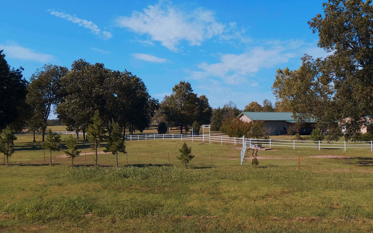
This is the most common choice for small acreages. It marks corners, shows lines, and identifies overlaps or encroachments. Use this when you want to confirm acreage, plan fencing, or verify what you are buying.
Mortgage or closing survey
Some lenders ask for a basic survey to show structures and possible encroachments. It is less detailed than an ALTA survey. For many standard residential closings, this is enough to satisfy the lender.
ALTA/NSPS land title survey
This is a comprehensive survey used for commercial or lender‑driven requirements. It collects more detail on easements, rights of way, and improvements. Consider this for larger tracts, complex title, or when your lender or title insurer requires it.
Topographic and improvement surveys
A topographic survey shows elevations, contours, creeks, and drainage. Pair it with an improvement location survey to place a house, driveway, or shop within setback lines and for septic permitting.
Easement and access surveys
If access crosses a neighbor’s land or a shared drive, this confirms the location and width of easements. It helps prevent future disputes and guides driveway and utility placement.
Subdivision and platting
If you plan to split land into lots, you will need a plat that meets county rules. This takes more time because it involves recording and agency reviews. Start early if this is part of your plan.
Muskogee County factors to check
PLSS and older descriptions
Many Oklahoma tracts use the Public Land Survey System tied to townships, ranges, and sections. Older metes‑and‑bounds calls and historic monuments can be part of your deed chain, which takes extra research to reconcile. Surveyors often reference federal control such as BLM GLO records for PLSS data.
Floodplain and water
Parts of Muskogee County sit near the Arkansas and Verdigris rivers and smaller creeks. Flood status can affect where you build, road design, and insurance. Ask your surveyor to note floodplain status or check the FEMA Flood Map Service Center.
Minerals and oil and gas
In Oklahoma, mineral rights are often separate from surface rights. A survey will not determine mineral ownership, but it can show known surface features tied to recorded documents. For well and lease records, review the Oklahoma Corporation Commission’s Oil and Gas Conservation Division with your title company.
Septic, wells, and setbacks
If you plan to add a septic system or well, the county health department will require certain distances from lines and water features. A boundary and topographic survey helps you site systems correctly. This reduces the risk of permit delays or costly redesigns.
Roads, gates, and shared access
Rural tracts often involve private or shared drives. Confirm if your access is a public road or a private easement before closing. Your survey should map access easements so you know your legal path to the property.
Why boundary clarity matters
Fences are not legal proof of boundary. If a fence strays off the line, you may inherit a relocation cost or a neighbor dispute. Surveys catch issues like sheds or driveways that cross lines so you can address them before close.
Building or adding a septic without a precise survey can trigger setback violations or permit problems. Lenders and title companies rely on surveys to remove exceptions and issue coverage. A clean survey supports resale, financing, and long‑term use of your land.
Hiring and costs
Find a licensed Oklahoma surveyor
Hire a Professional Land Surveyor licensed by the state. You can verify credentials through the Oklahoma State Board of Licensure for Professional Engineers and Land Surveyors. Ask about Muskogee County experience, sample plats, specific deliverables, and insurance.
Timelines you can expect
A simple boundary or mortgage survey can take 1 to 3 weeks after authorization. Heavily wooded tracts, complex deed histories, or access challenges can extend that to 3 to 8 weeks. ALTA surveys and subdivision plats often take longer due to extra research and recording.
What drives cost
Acreage size, tree cover, line clearing, terrain, access, and record complexity all affect price. Small, simple lots can be a few hundred dollars. Multi‑acre, wooded, or complex tracts can run into a few thousand dollars. Get multiple local quotes and compare what is included.
Coordinate with your team
Line up survey timing with your title search and any lender requirements. Share recorded easements, prior surveys, and preliminary title reports with your surveyor. If you plan to build, order a topographic survey early so your design team can work from accurate data.
Red flags to address early
Watch for conflicting deeds, past boundary disputes, or missing access easements. Ask your title company to review active or historic oil and gas activity that could affect surface use. If floodplain or wetlands are likely, consider a flood elevation note or study.
A simple buyer workflow
- Review the county parcel map, assessor data, and preliminary title report.
- Order a boundary or location survey early in your option or due‑diligence period.
- If building, add a topographic survey and septic site study.
- Use the plat for permitting, fence placement, and lender or title needs.
- If issues surface, work with your title company and an attorney to resolve them before closing.
Build with confidence in Muskogee
You want clear lines, legal access, and a site plan that fits your goals. A current survey, paired with smart title review, gives you the clarity to buy, build, and enjoy your land with fewer surprises. If you want help choosing the right survey for your goals, reviewing easements, or coordinating local pros, reach out.
Ready to talk through a tract near Muskogee or Lake Eufaula? Connect with Jeremy Grumbles to walk your options and schedule your free consultation.
FAQs
What will a land survey show before I buy in Muskogee?
- It will map corners, boundary lines, acreage, visible improvements, recorded easements, and any encroachments so you know what you are buying.
How is a boundary survey different from a title search?
- A boundary survey measures and maps physical limits, while a title search reviews recorded ownership and easements; both work together to reduce risk.
Which survey types do I need for a rural lot near Muskogee?
- Start with a boundary survey, add a topographic and improvement location survey if you plan to build, and consider ALTA if your lender or title insurer requires it.
How long does a Muskogee survey take and what does it cost?
- Simple jobs often take 1 to 3 weeks and cost a few hundred dollars, while larger or complex tracts can take 3 to 8 weeks and cost a few thousand dollars.
Will a survey show oil and gas rights or active wells in Oklahoma?
- A survey does not determine mineral ownership, but you can review well and lease records through the Oklahoma Corporation Commission’s Oil and Gas division.
Do I need a survey to build a house or septic in Muskogee County?
- Yes, you will typically need a boundary and improvement location survey for setback checks, plus a topographic survey to support septic and site design.
What if the fence or a neighbor’s barn is on my side of the line?
- Your surveyor will note encroachments so you can resolve them with the seller, neighbor, title company, or an attorney before closing.
How do access easements affect how I can use my land?
- Easements grant others specific rights like roadway or utilities, and your survey should show their location and width so you can plan around them.
Who typically pays for the survey in an Oklahoma purchase?
- It is negotiable; many buyers order and pay for the survey so it reflects their needs and timing, then negotiate credits as part of the deal.
How do I check flood risk for a Muskogee property?
- Ask your surveyor to note flood status and review FEMA’s Flood Map Service Center for mapped floodplains by address or coordinates.
How can I verify a surveyor’s license in Oklahoma?
- Use the state licensing board’s directory at the Oklahoma State Board of Licensure for Professional Engineers and Land Surveyors to confirm active status.
Where can I review soils for septic planning?
- The USDA NRCS Web Soil Survey helps you understand soil types and suitability before you design a system.